
Where is Tirupati district, What is the population of Tirupati 2025, Tirupati area in sq km
Where is Tirupati district: Tirupati is a district in the state of Andhra Pradesh, India. Tirupati district was made in April 2022 and is in the southeastern part of the country. The main city and district headquarter of Tirupati district is Tirupati, which is very famous for the Tirumala Venkateswara Temple. The population of Tirupati district in 2025 is around 24 lakh people and has a total area of about 8,231 square kilometers.
The RTO code of Tirupati district is AP-03. The main languages spoken in Tirupati district are Telugu (official language), Tamil, and Urdu. Tirupati district is an important religious and cultural place in India because of the many temples and pilgrims who visit, Where is Tirupati district, What is the population of Tirupati 2025, Tirupati area in sq km.
| Tirupati State name | Andhra Pradesh |
| Tirupati district headquarters (City) | Tirupati District |
| Tirupati Pin Code | 517501 (Tirupati City) |
| Tirupati area in sq km | Approx. 8,231 sq. km (includes cities and villages) |
| Tirupati population 2025 (full district) | Around 24 lakh |
| Tirupati RTO code | AP 03 |
| Tirupati local language | Telugu (official), Tamil, Urdu |
| Nearest Airport to Tirupati | Tirupati International Airport (TIR), located about 15 km from city |
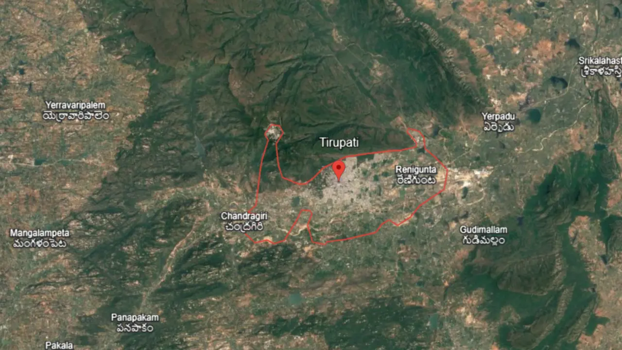
| Major Cities | Tirupati, Srikalahasti, Puttur, Renigunta |
| All Tehsils and Sub-Tehsils | Tirupati Urban, Tirupati Rural, Renigunta, Chandragiri, Srikalahasti, Puttur, Vadamalapeta, Karvetinagaram, Yerpedu, Ramachandrapuram, Pakala |
| Tirupati DM Name | Shri Dr. S. Venkateswar, IAS |
| Tirupati DM office address | Collectorate, Tirupati |
| Tirupati official website | tirupati.ap.gov.in |
Which are the neighbouring districts of Tirupati, neighbouring cities of Tirupati
Tirupati shares its borders with both Andhra Pradesh districts and Tamil Nadu districts. On the north side, Tirupati district shares its boundary with Annamayya and Chittoor district. On the east, it touches Nellore district. On the south side, Tirupati district shares its borders with Chengalpattu district and Tiruvallur district of Tamil Nadu. On the west, Tirupati district again meets Chittoor district.
Tirupati airport name
Tirupati district has an airport named Tirupati International Airport, also known as Renigunta Airport. Located in Renigunta, approximately 14 km east of Tirupati city, the airport serves as a regional hub for both domestic and international flights. Established in 1971, it was upgraded to international status in June 2017. The airport features a single runway 3,810 meters.
Which is the main railway station of Tirupati
The main railway station in Tirupati is Tirupati Railway Station (TPTY), located on the Chennai–Anantapur Highway in Andhra Pradesh. It was established in 1891. Tirupati district is served by eight railway stations: Tirupati, Renigunta Junction, Tirupati West Halt, Chandragiri, Tiruchanur, Srikalahasti, Pakala Junction, and Sullurupeta.
FAQs
Tirupati city is the largest urban area in Tirupati district, serving as its administrative and cultural hub.
The Regional Transport Office (RTO) code for Tirupati is AP03, assigned by the Andhra Pradesh Transport Department.
2025, the estimated population of Tirupati district is approximately 2.4 million.
Tirupati district has 53 police stations, including urban and rural areas, under its jurisdiction.