


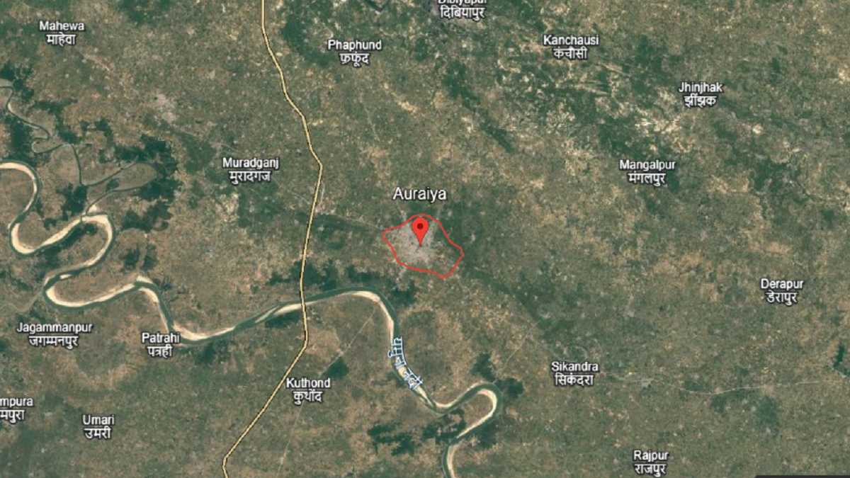
Where is Auraiya city, Auraiya city area in sq km, Auraiya Pin code
Auraiya is a city in Uttar Pradesh, India. Auraiya city is the main headquarters of Auraiya district, which was made a separate district in 1997 after being divided from Etawah. Auraiya city has an estimated population of about 1.26 lakh people in 2025. Auraiya city covers an area of around 9 square kilometres. The official postal PIN code of Auraiya city is 206122. Auraiya city is part of the Kanpur Division in northern India.
The main language spoken in Auraiya city is Hindi, and some people also use local dialects. Auraiya city is managed by the Nagar Palika Parishad (municipal board) and works as the main centre for government offices, trade, and local administration in the district. Where is Auraiya city, Auraiya city area in sq km, Auraiya Pin code.
| Auraiya State Name | Uttar Pradesh |
| Auraiya City Area | Approximately 9 sq km |
| Auraiya District Name | Auraiya |
| Auraiya City Population (2025) | Around 1,26,000 |
| Auraiya Pin Code | 206122 |
| Auraiya Official Website | auraiya.nic.in |
Following India’s independence in 1947, Auraiya city remained a part of Etawah district for several decades. On 17 September 1997, Auraiya district was created, and Auraiya city was chosen as its headquarters. Since that time, the Collector’s office, District Magistrate office, and various other government offices commenced operation from Auraiya city.
In the subsequent few years after independence, Auraiya city had little development, with a few new markets, and roads and some consideration with local self government matters. Later on, more considerable development took place with new industries being formed in and around Auraiya city. In Dibiyapur, the Auraiya Thermal Power Station has become a significant project providing both power and jobs for many residents.
Subsequently, GAIL (Gas Authority of India Limited) also established a major gas compressor station in Dibiyapur, helping to develop Auraiya city into an industrial hub located in-between Kanpur and Agra. Connectivity also transformed the future of Auraiya city. Auraiya city is connected via National Highway 19 formerly known as the Grand Trunk Road.
A major positive catalyst was provided when the Agra–Lucknow Expressway was made operational on 21 November 2016 which is situated in close proximity to Auraiya city and substantially reduces travel time travelling to Lucknow and Agra. Subsequently on 16 July 2022, the Bundelkhand Expressway was also opened and it also passes through the district. Although these expressways do not originate in Auraiya city, the expressways passing through the area gives Auraiya city a much better advantage to connect Auraiya city to the rest of the state of Uttar Pradesh for trade and transport.
FAQs
The primary PIN code for Auraiya city is 206122
Auraiya city covers an area of approximately 9 square kilometers.
The estimated population of Auraiya city in 2025 is around 126,000.