


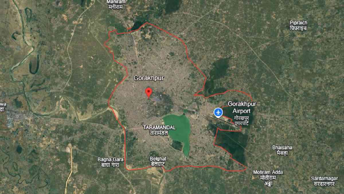
Where is Gorakhpur city, Gorakhpur city area in sq km, Gorakhpur Pin code
Gorakhpur city is an important city in Uttar Pradesh, India, and it is the headquarter of Gorakhpur district. Gorakhpur city is located in the eastern part of Uttar Pradesh and is well known for the Gorakhnath temple. In 2025, Gorakhpur city has an estimated population about. The total area of Gorakhpur city is nearly 226.6 square kilometres.
The main PIN code of Gorakhpur city is 273001. The commonly spoken local languages in Gorakhpur city are Hindi, Bhojpuri, and Urdu. Where is Gorakhpur city, Gorakhpur city area in sq km, Gorakhpur Pin code.
| Gorakhpur State Name | Uttar Pradesh |
| Gorakhpur City Area | 226.0 sq km |
| Gorakhpur District Name | Gorakhpur |
| Gorakhpur City Population (2025 estimate) | Around 983,000 |
| Gorakhpur Pin Code | 273001 |
| Gorakhpur Official Website | gorakhpur.nic.in |
After independence in 1947, Gorakhpur city began to experience changes in its territorial limits. In 1946, just prior to independence in 1947, Deoria district was carved out of Gorakhpur district. Subsequently, in 1989, Maharajganj district was formed from Gorakhpur district. All these were done by the government of Uttar Pradesh for administrative ease.
In 2007, Gorakhpur city experienced communal riots in the Kotwali region. The riots began when a Hindu man was murdered during a Muharram procession. This incident resulted in violence between communities. In addition, tourism and environmental projects continued. In 2017, Chief Minister Yogi Adityanath announced that Ramgarh Tal Lake in Gorakhpur city would be developed as a tourist destination at an international level.
On 27 March 2021, the Shaheed Ashfaq Ullah Khan Zoological Park, also known as Gorakhpur Zoo, was inaugurated by Chief Minister Yogi Adityanath. The zoological park spans approximately 121 acres, which is the first zoo in the Purvanchal region and the third zoo in Uttar Pradesh.
A major infrastructure development occurred in the Gorakhpur Link Expressway. Chief Minister Yogi Adityanath inaugurated the Gorakhpur Link Expressway on 20 June 2025. The expressway measures 91.35 kilometers and connects Jaitpur in Gorakhpur district and Salarpur in Azamgarh district. The expressway thereby connects to the Purvanchal Expressway and this cuts transport times from Gorakhpur city to Lucknow to about three and a half hours. The overall construction cost totaled about 7,283 crore.
In 2025 the Government of Uttar Pradesh also announced the rollout of Advanced Traffic Management Systems on the Gorakhpur Link Expressway. This was intended to enhance safety through real-time monitoring and surveillance.
FAQs
The primary pin code for Gorakhpur city is 273001.
Gorakhpur city spans an area of approximately 226 square kilometers.
As of 2025, Gorakhpur city has an estimated population of 983,000.