


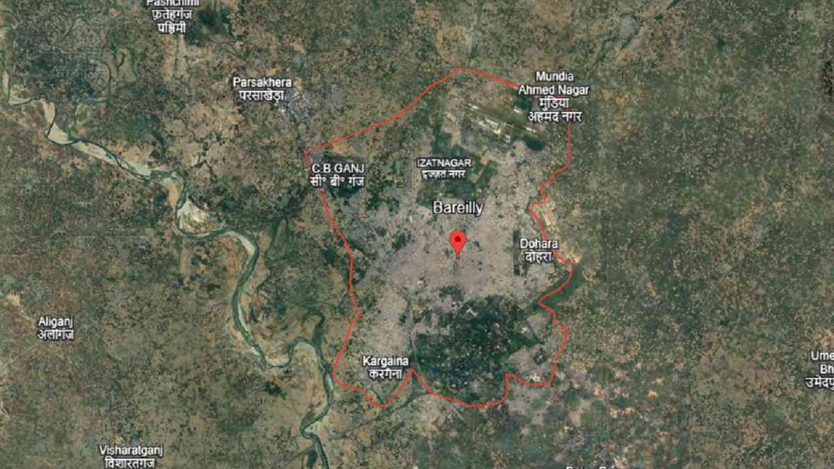
Where is Bareilly city, Bareilly city area in sq km, Bareilly Pin code
Bareilly is a city in Bareilly district, located in Uttar Pradesh, India. Bareilly city has an estimated population of about 12,00,000 people in 2025. The total area of Bareilly city is about 106 square kilometres. The official postal PIN code of Bareilly city is 243001, while some areas also use 243003. The official local languages of Bareilly city are Hindi and Urdu. Bareilly city is also the main centre for administration of Bareilly district. Where is Bareilly city, Bareilly city area in sq km, Bareilly Pin code.
| Bareilly State Name | Uttar Pradesh |
| Bareilly City Area | Approximately 106 sq km |
| Bareilly district name | Bareilly |
| Bareilly City Population (2025) | Around 12,00,000 |
| Bareilly Pin Code | 243001 |
| Bareilly Official Website | bareilly.nic.in |
After India became independent in 1947, many changes started in Bareilly city under the control of the State government of Uttar Pradesh. In 1950, Bareilly city became officially part of the reorganized Uttar Pradesh.
In 1968, the Bareilly city railway station, Bareilly Junction, was upgraded by Indian Railways to facilitate the movement of the citizens of Bareilly. In the 1970s, National Highway 30 was constructed, linking Bareilly city with Lucknow, Moradabad and other hubs. During the period of the 1980s, the industries began to increase in Bareilly city, notably in furniture manufacturing and textiles.
In 2007, National Highway 74 in the vicinity of Bareilly city was widened by the National Highways Authority of India. During the time of 2015 to 2023, Bareilly city received better roadways and expressways joining it with Lucknow and Moradabad. In 2020, the Bareilly city railway station was improved by Indian Railways for the purpose of travellers to get better services.
FAQs
The main pin code of Bareilly city is 243001.
Bareilly city spreads over approximately 106 square kilometers.
In 2025, Bareilly city’s population is estimated at over 12,00,000 residents.